Balloons will surf wind currents to track wildfires

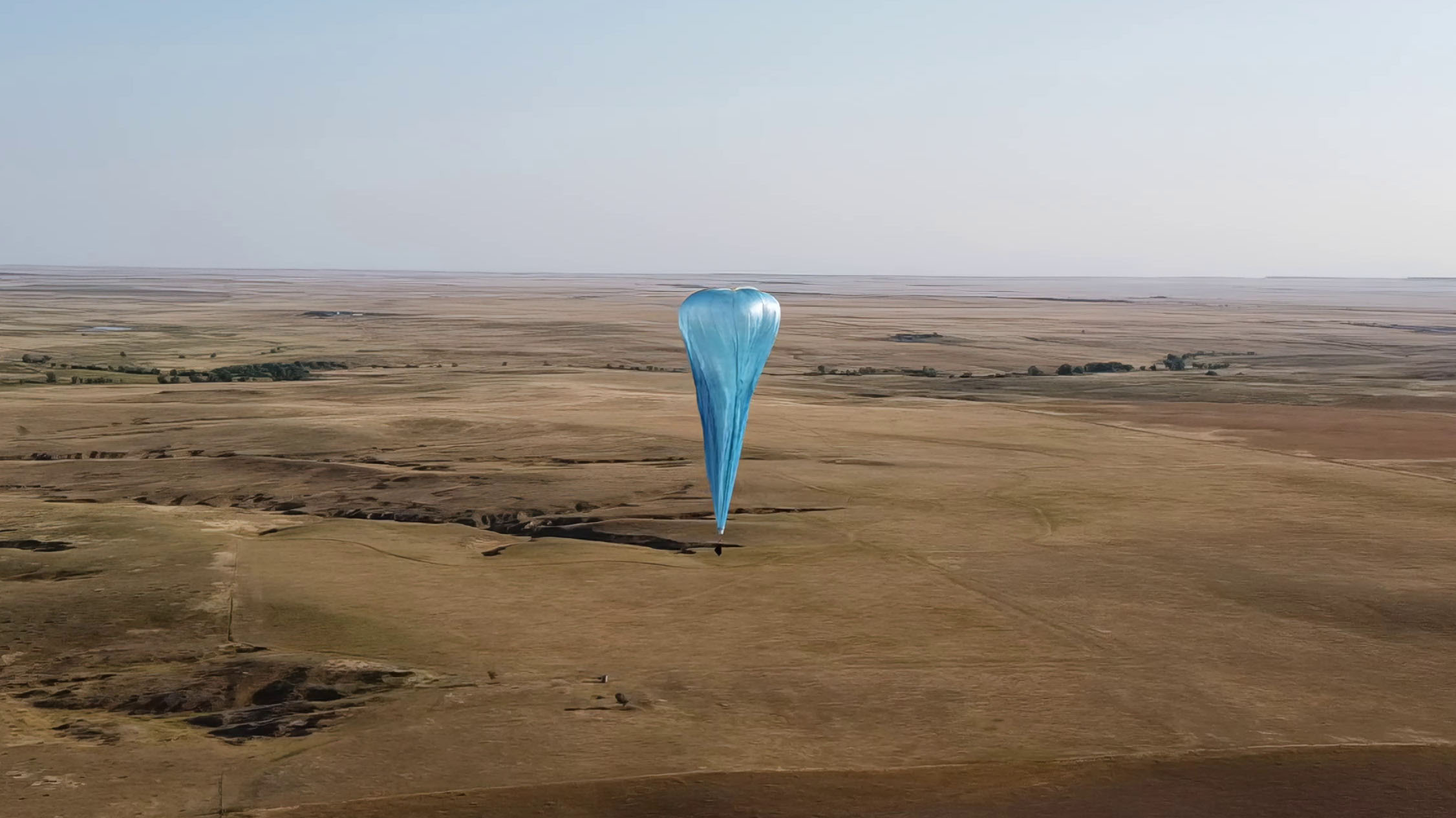
The balloons can hover over a fire for about 18 hours, using the whims of the atmosphere to stay in place. They fly near the top of the troposphere and the bottom of the next atmospheric layer: the stratosphere. “Those often have winds going in different directions,” explains Leidich. To move back and forth, the balloon simply has to go up or down.
Urban Sky’s unnamed customer for its August deployment takes data on wind patterns and fuels (also known as trees, bushes, and grass) to try to understand the spots where fires are most likely to start and spread. It is interested in integrating Urban Sky’s on-the-ground (read: in-the-air) data on where fires actually do break out. “They want to add an extra step to the process where they actually scan the areas that are high risk,” says Leidich.
During the campaign, if officials identify or suspect a fire, Urban Sky can send out the truck. “We put a balloon up over the area to scan the area and say, ‘Yes, there is a fire. Here it is,’” says Leidich.
COURTESY URBAN SKY
If they get yeses where they should and nos where there is nothing to see, the proof of concept could lead to wider adoption of the HotSpot system, perhaps offering a simple and timely way for other regions to get a handle on their own fires.
This year, Urban Sky also has a grant through NASA’s FireSense program, which aims to find innovative ways to learn about all three fire phases (before, during, and after). At the moment, the August campaign and the NASA program are the primary customers for Hot Spot, although the company also sells regularly updated aerial images of 12 cities in the western US.
“It’s kind of an interesting technology to be able to do this active fire detection and tracking from a high-altitude platform,” Falkowski says of Urban Sky’s balloons.
With NASA’s support, the team is hoping to redesign the system for longer flights, build in a more robust communication system, and incorporate a sensor that captures blue, green, and near-infrared light, which would make it possible to understand those plant-based “fuels” better and assign risk scores to forests accordingly. Next year the team is planning to again hover over real fires, this time for NASA.
And there will always be fires to hover over. As there always have been, Falkowski points out. “Fire is not a bad thing,” he says. “These ecosystems evolved with fire. The problem is humans are getting too close to places that just need to burn.”
Sarah Scoles is a Colorado-based science journalist and the author, most recently, of the book Countdown: The Blinding Future of Nuclear Weapons.


